


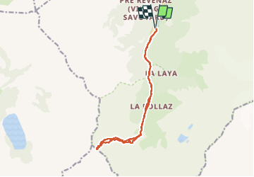

7,8 km | 12,4 km-effort

Utilisateur


Application GPS de randonnée GRATUITE
 SityTrail
IGN / Instituts géographiques
SityTrail World
Le monde est à vous
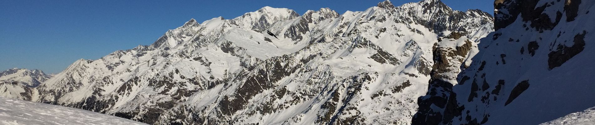
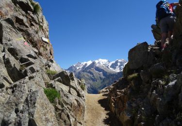
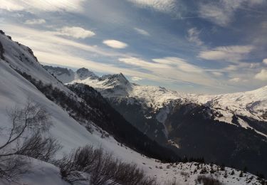
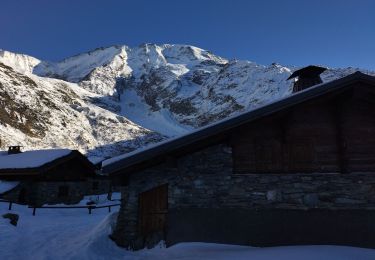
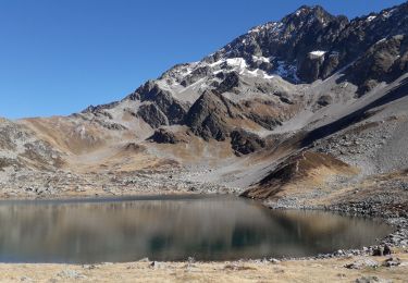
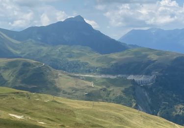
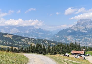
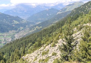
Randonnée Ski de randonnée de 14,8 km à découvrir à Auvergne-Rhône-Alpes, Haute-Savoie, Les Contamines-Montjoie. Cette randonnée est proposée par nadd73.
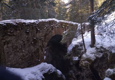
De nôtre dame de la gorge, la voie romaine était en glace vive donc il y avait un sentier de contournement.
Sinon pas mal de plat.


Marche
Ski de randonnée
Ski de randonnée
Ski de randonnée
Ski de randonnée
Marche
Marche
Marche
Marche